Explore Cyprus · Hiking
Best Nature Trails in Cyprus
Twelve of the island’s best marked trails, from black pine forests and waterfalls in the Troodos mountains to wild Akamas hills and the sea caves of Cape Greco. Compare difficulty, distance and time, then see how to reach each trailhead.
Filter trails
Distance and time are the official route figures; linear trails are measured one way.
12 trails
Troodos mountains
Artemis trail
- Distance
- 7 km
- Time
- 2½–3 hours
- Top altitude
- 1,850 m
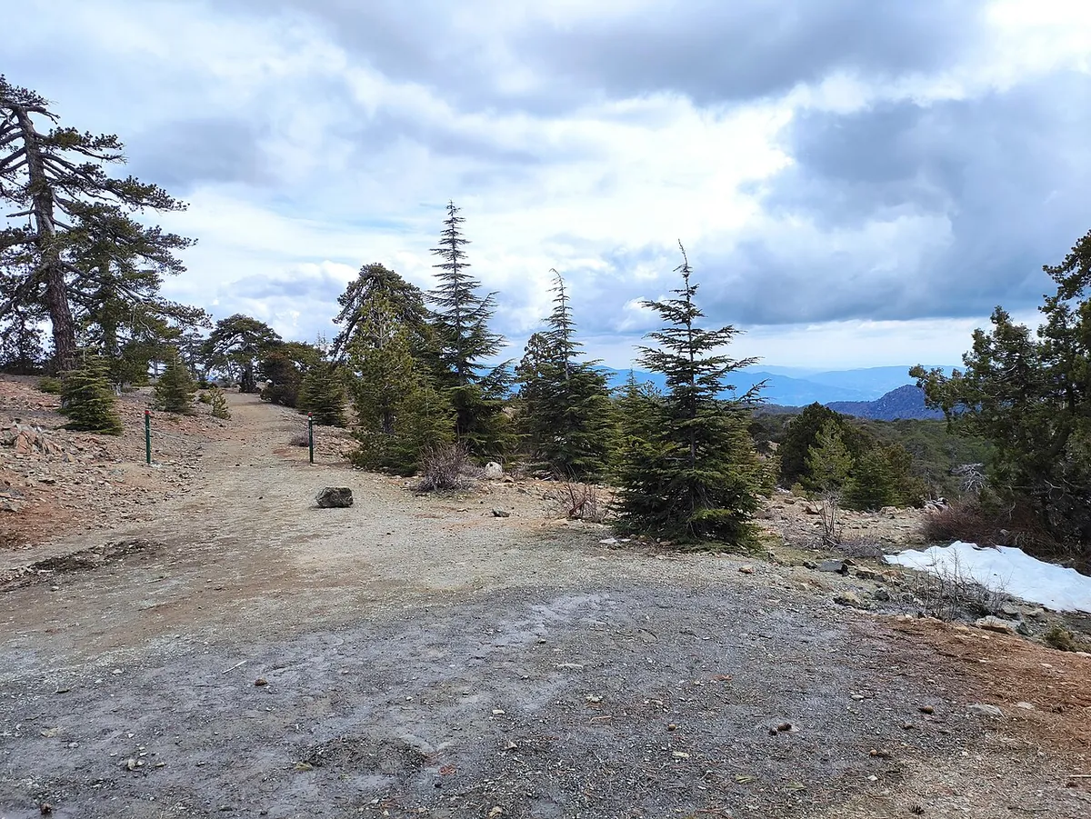
The highest marked trail in Cyprus: a gentle loop around the summit of Mount Olympos through black pine forest, with views in every direction.
Trail details for Artemis trail→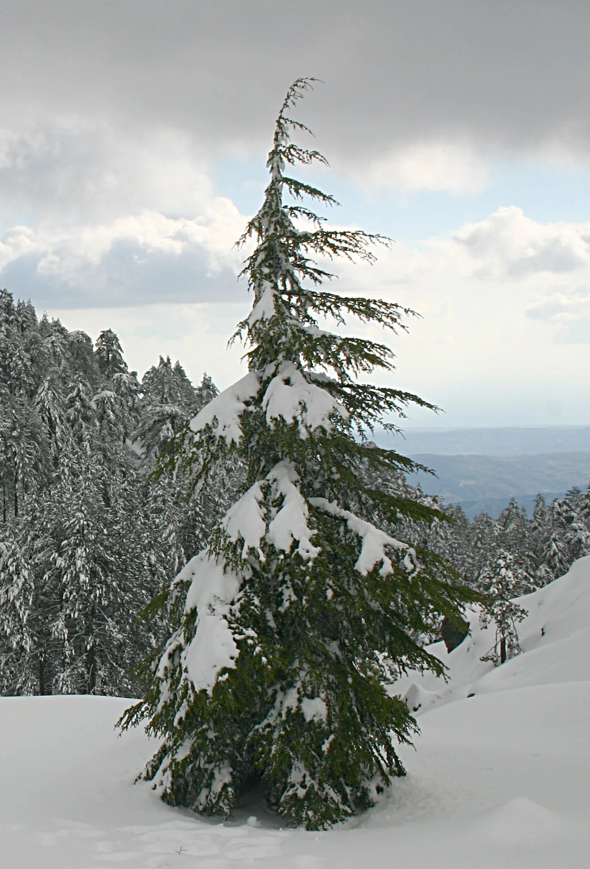
Troodos mountains
Atalanti trail
- Distance
- 14 km
- Time
- 4–5 hours
- Top altitude
- 1,830 m
A long, steady loop around Mount Olympos from Troodos Square, past an 800-year-old juniper and an old chrome mine entrance.
Trail details for Atalanti trail→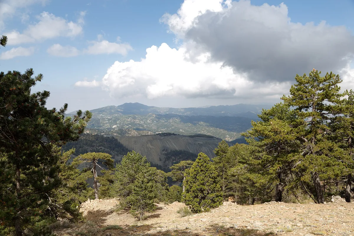
Troodos mountains
Persephone trail
- Distance
- 3 km one way (6 km return)
- Time
- 1 hour one way
- Top altitude
- 1,733 m
A short, easy forest walk from Troodos Square to the Makria Kontarka viewpoint, with big views south and south-west.
Trail details for Persephone trail→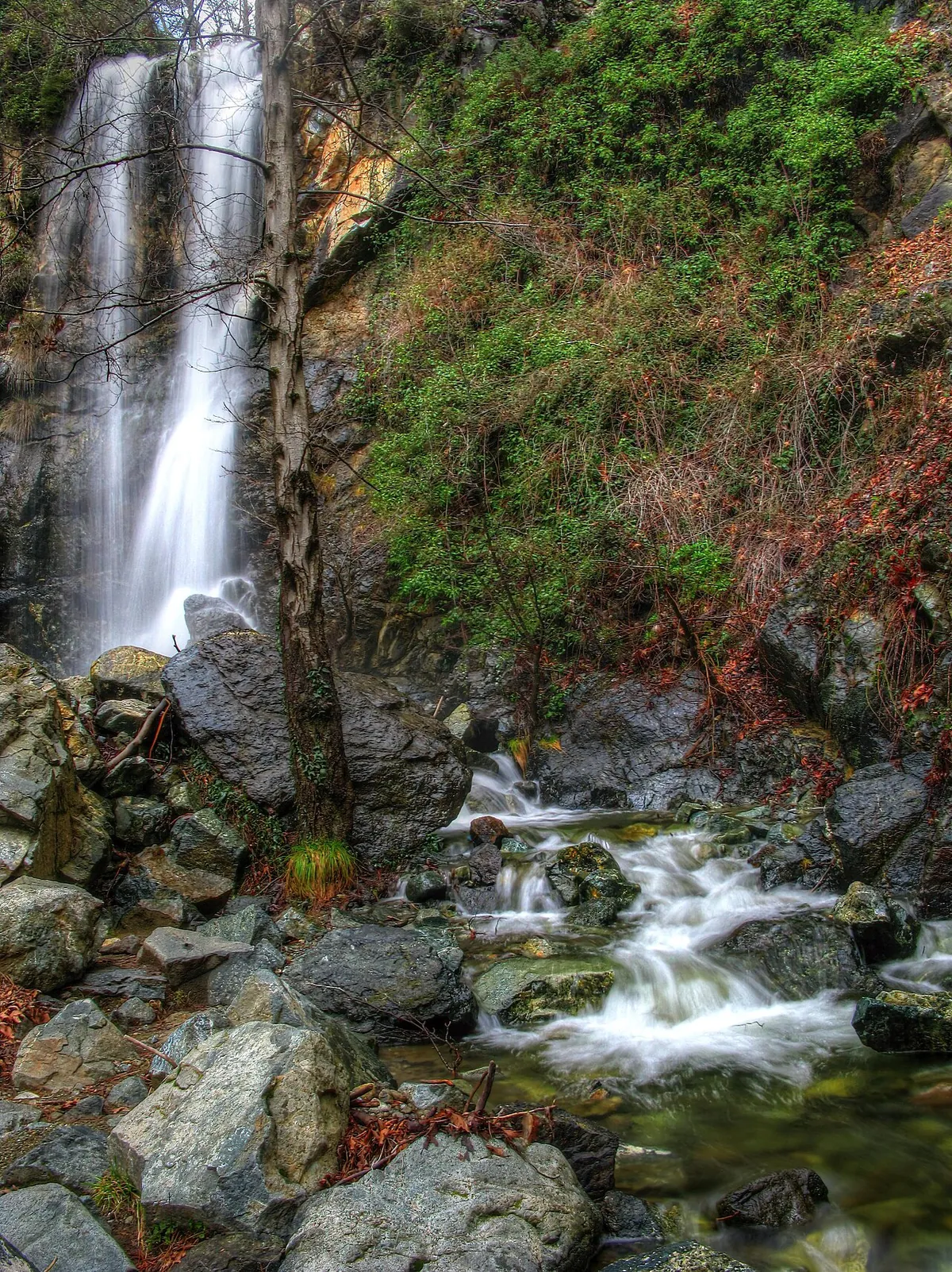
Troodos mountains
Kalidonia (Caledonia) waterfall trail
- Distance
- 3 km one way
- Time
- 1½ hours one way
- Top altitude
- 1,571 m
Follow the year-round Kryos Potamos stream through dense forest to the Kalidonia waterfall. Short, but steep, rocky and with stream crossings.
Trail details for Kalidonia (Caledonia) waterfall trail→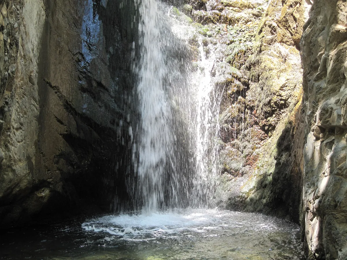
Troodos mountains
Millomeris waterfall trail
- Distance
- 1.2 km one way
- Time
- 30–45 minutes one way
- Top altitude
- 1,070 m
A short but steep walk down from Pano Platres along the Kryos Potamos to one of the tallest waterfalls in Cyprus.
Trail details for Millomeris waterfall trail→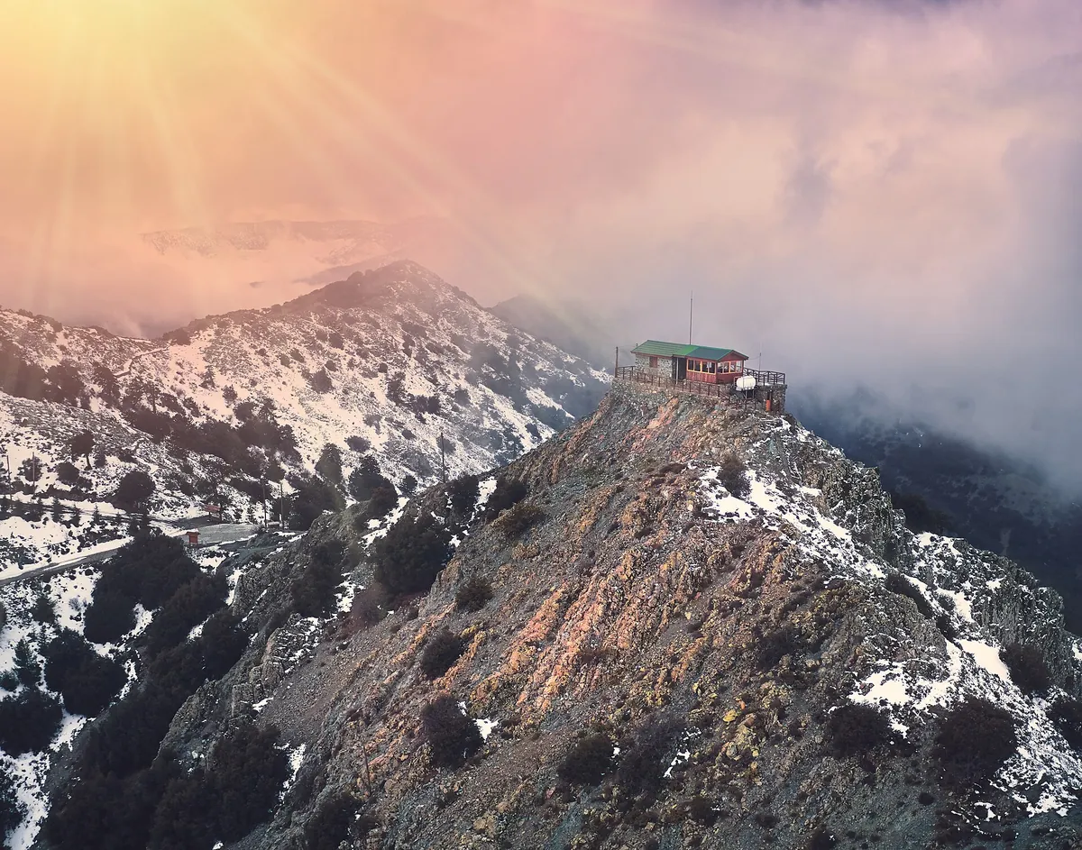
Madari & Pitsilia
Madari ridge trail
- Distance
- 3.8 km one way
- Time
- 2 hours one way
- Top altitude
- 1,609 m
A ridge walk with 360° views over the Troodos and Pentadaktylos ranges, Morfou Bay and the south coast, ending at a fire lookout tower you can climb.
Trail details for Madari ridge trail→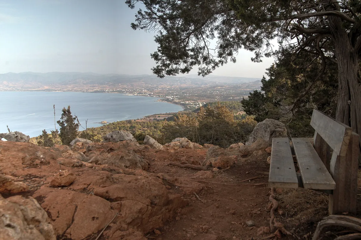
Akamas peninsula
Aphrodite trail, Akamas
- Distance
- 7.5 km
- Time
- 3–4 hours
- Top altitude
- 333 m
Climb from the Baths of Aphrodite to medieval ruins and a 500-year-old oak, with sweeping views over Chrysochou Bay and the Akamas.
Trail details for Aphrodite trail, Akamas→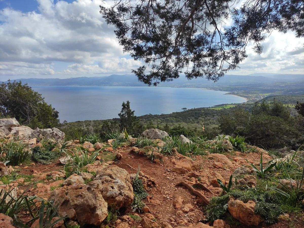
Akamas peninsula
Adonis trail
- Distance
- 7.5 km
- Time
- 3–4 hours
- Top altitude
- 319 m
A demanding Akamas loop past the Queen’s Tower ruins and the Kefalovrysia spring, with views over Polis, the Paphos Forest and the peninsula.
Trail details for Adonis trail→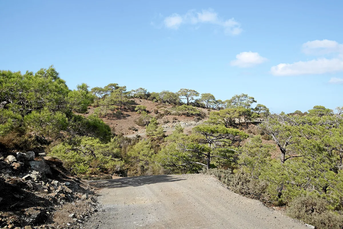
Akamas peninsula
Smigies trail
- Distance
- 2.5 km short loop or 6 km long loop
- Time
- 1 hour (short) or 2 hours (long)
- Top altitude
- 388 m
Two loops from a picnic site above Neo Chorio, with views of Lara Bay to the west and Chrysochou Bay to the east. The long loop passes old mines and kilns.
Trail details for Smigies trail→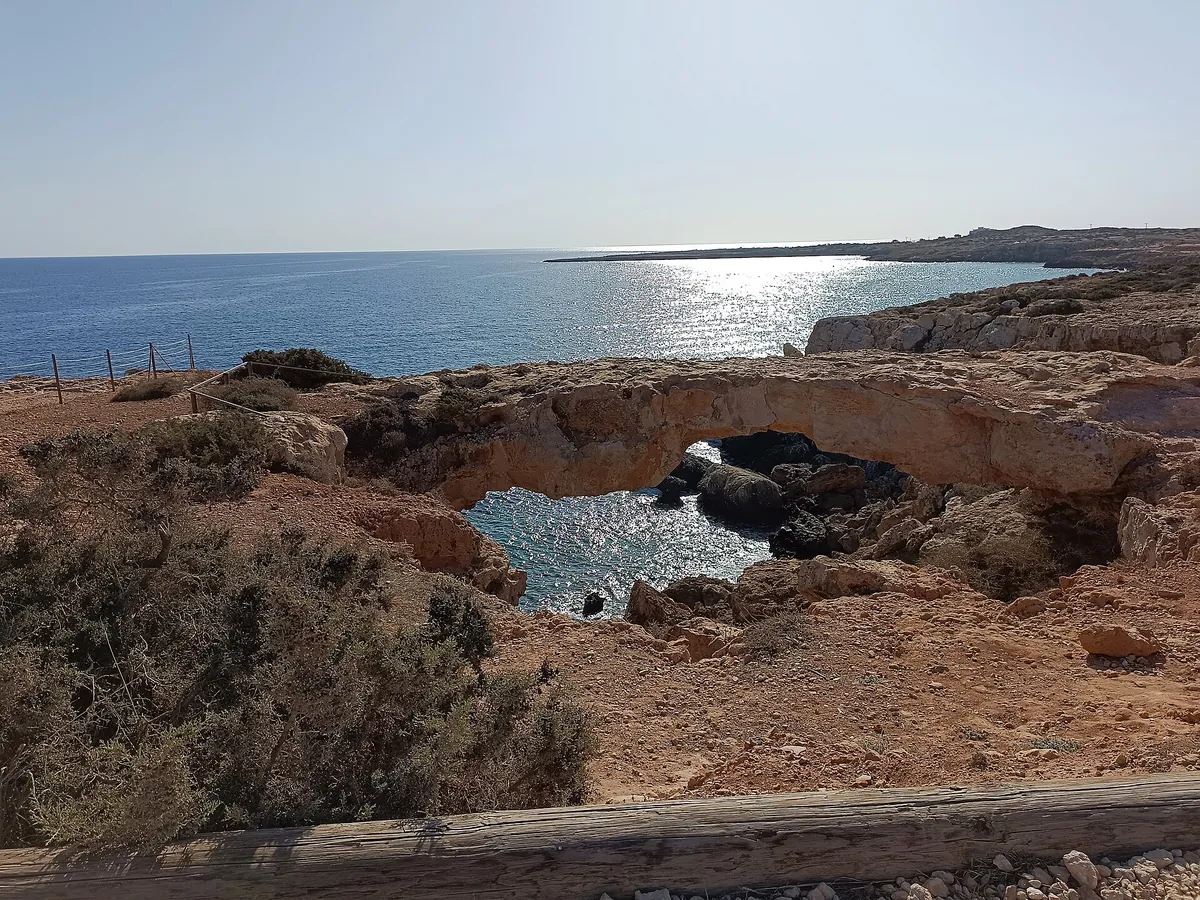
Cape Greco
Aphrodite trail, Cape Greco
- Distance
- 2 km
- Time
- 1 hour
- Top altitude
- 60 m
An easy coastal loop from the Cape Greco visitor centre past the site of an ancient temple of Aphrodite and shepherds’ caves, close to the Kamara tou Koraka sea arch.
Trail details for Aphrodite trail, Cape Greco→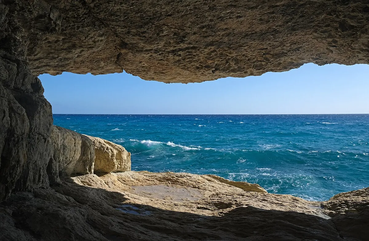
Cape Greco
Sea Caves – Agioi Anargyroi trail
- Distance
- 4 km one way
- Time
- 1½ hours one way
- Top altitude
- 30 m
A clifftop coastal walk from the Ayia Napa sea caves past the Kamara tou Koraka arch to the little church of Agioi Anargyroi.
Trail details for Sea Caves – Agioi Anargyroi trail→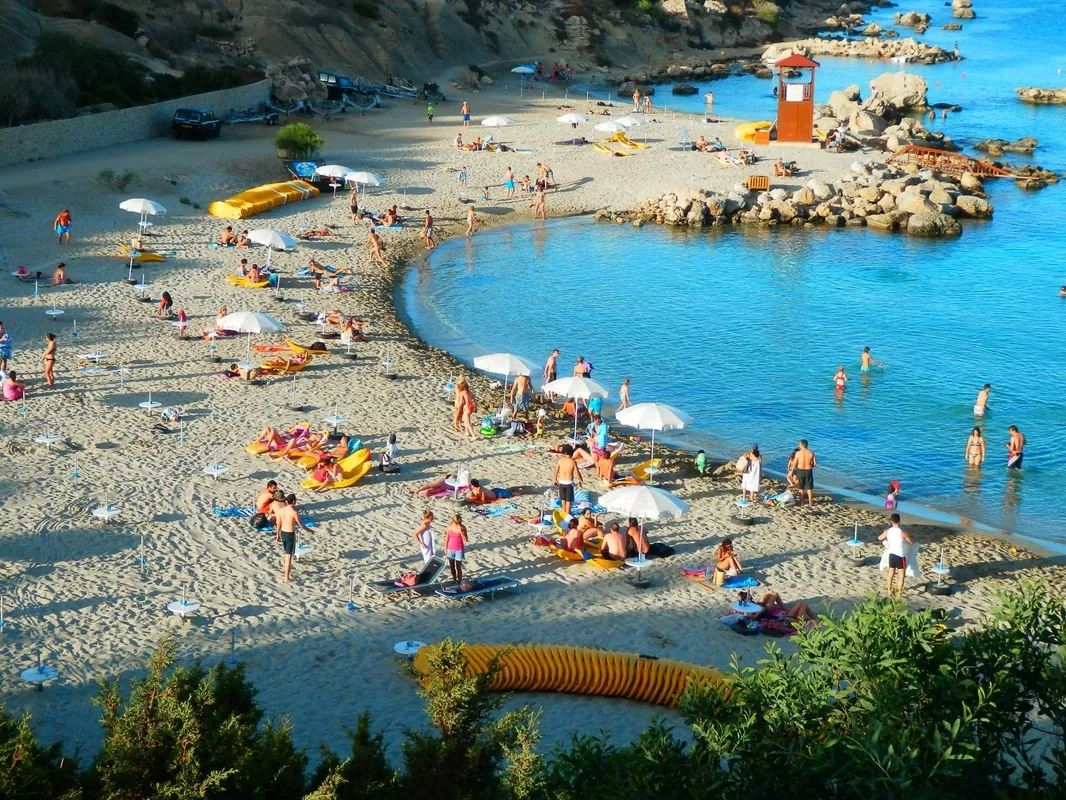
Cape Greco
Konnoi – Cyclops Cave trail
- Distance
- 1.7 km
- Time
- 45 minutes
- Top altitude
- 30 m
A short coastal loop from Konnos Bay to the Cyclops Cave, with views of turquoise water and Agioi Anargyroi church. Ideal before a swim.
Trail details for Konnoi – Cyclops Cave trail→Before you set out
Pick the right grade
Grades come from the official trail map: 1 star is easy, 2 is moderate, 3 is difficult (steep, rocky or long). Choose a route that matches the least experienced person in your group.
Carry water and sun protection
Most fountains on the trails are not drinking water. Take plenty of water, a hat, sunglasses and sunscreen; summer temperatures can exceed 40°C on the coast.
Wear proper shoes
Trails are rocky, with steep slopes and stream crossings in places. Walking shoes or boots with good grip make a big difference.
Plan the return first
Rural buses can be infrequent and phone signal patchy. Know your last departure or fix a pickup time before you start, especially on linear trails.
In an emergency, call 112
112 is the European emergency number and works in Cyprus. Note the trail name and your nearest landmark so you can describe your location.
Respect the forest
Stay on marked paths, take your rubbish home and never light fires outside designated picnic sites. Forest fire risk is high in the dry season.
Getting to the trailhead
Plan the journey, not just the walk
Troodos Square, the Baths of Aphrodite and the Cape Greco coast have bus services; most other trailheads need a taxi or car. Each trail page lists the options and the official start point.
Plan your journeyHiking in Cyprus: common questions
What is the best nature trail in Cyprus for beginners?
Persephone (3 km from Troodos Square) and Artemis (a 7 km loop around Mount Olympos) are both graded easy in the mountains. On the coast, the Cape Greco trails near Ayia Napa are short and easy.
What do the difficulty stars mean?
Stars match the official grade on the Visit Cyprus nature trails map: one star is an easy trail, two is moderate (average) and three is difficult. The grade reflects steepness, terrain and length.
Can I reach Cyprus nature trails by bus?
Some, with planning. Troodos Square (Atalanti and Persephone) is served by EMEL route 64 from Limassol, the Baths of Aphrodite by Pafos Buses route 622 from Polis, and the Cape Greco coast by OSEA routes 101/102. Most other trailheads need a taxi or car. Each trail page lists the options.
When is the best time to hike in Cyprus?
Spring and autumn suit most trails. In summer, the Troodos mountains are far cooler than the coast; coastal and Akamas walks are best early in the morning. In winter, snow and ice are possible on the high Troodos trails.
Sources and checked date
Distances, times, grades and start points come from the Cyprus Tourism Organisation’s trail pages and its 2026 nature trails map, checked 2026-10-09. Trails can close temporarily for maintenance or fire risk; check current notices before you go.
Visit Cyprus: nature trails ↗Visit Cyprus: 2026 nature trails map (PDF) ↗Visit Cyprus: hiking in Cyprus ↗